20 years of pioneer in xinjiang tourism for overseas travelers
Born Here, Know Best, Your Journey's Blessed
No Shopping. No Detour, 99% Excellent Review

contact UsOn Wechat

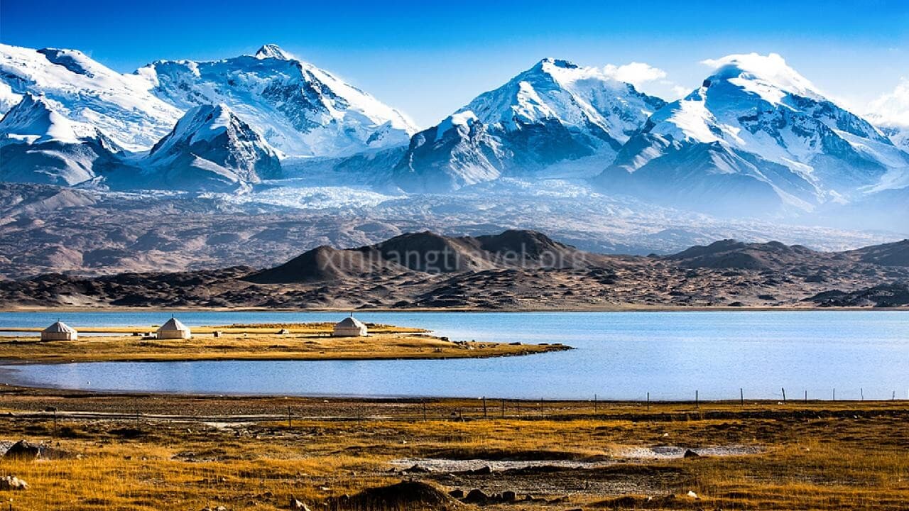
Kashgar-Karakul Lake-Taxkorgan-Kashgar-Turpan-Tuyoq Village-Urumqi-Heavenly Lake-Urumqi
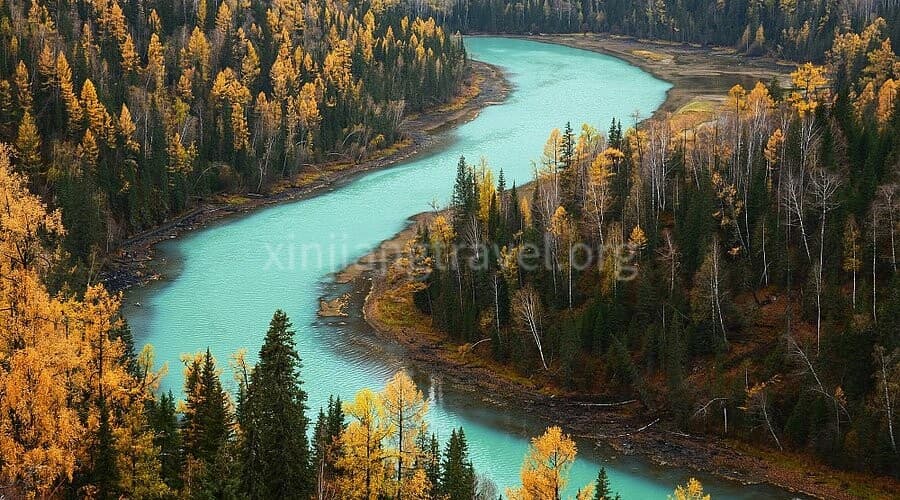
Experience an unforgettable Xinjiang Silk Road journey featuring dramatic Pamir landscapes, ancient oasis cities, rich ethnic culture, alpine lakes, desert scenery, and historic heritage sites.
Urumqi - Kuitun - Burqin - Kanas - Hemu - Fuhai - Keketuohai - Urumqi
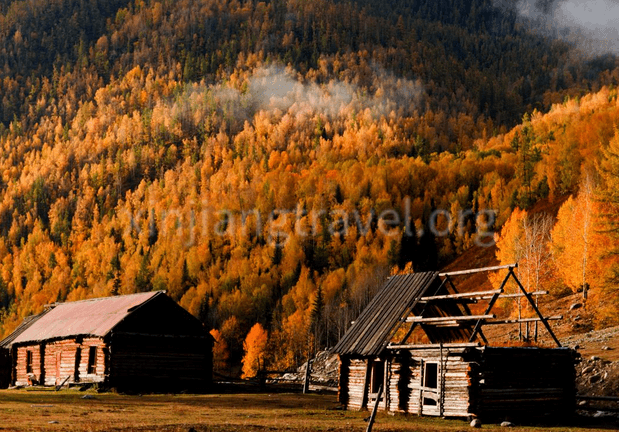
Discover the breathtaking landscapes, colorful geological wonders, alpine lakes, forests, grasslands, and ethnic cultures of Northern Xinjiang on this unforgettable journey through Urumqi, Kanas, Hemu, Burqin, and Keketuohai.
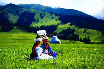
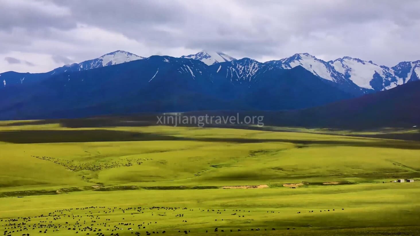
Urumqi - Dushanzi - Yining - Zhaosu - Tekes - Gongliu - Nalati - Kuitun - Urumqi
Explore the best of Northern Xinjiang on a Duku Highway tour featuring Yili, Nalati, Zhaosu and Tekes. Discover grasslands, canyons and stunning mountain scenery.
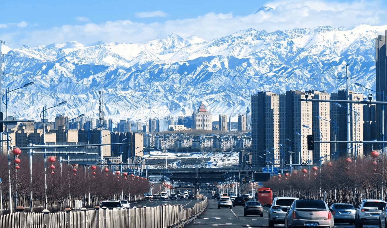
Urumqi-Kuitun-Burqin-Kanas-Hemu-Fuhai-Keketuohai-Urumqi-Turpan-Urumqi
Explore Xinjiang with this 10-day travel itinerary covering Kanas, Hemu, Keketuohai, Turpan and Urumqi. Discover alpine lakes, forests, grasslands, Silk Road history and unique cultures.

Kashgar-Karakul Lake-Taxkorgan-Nalati-Yining-Jinghe-Urumqi-Turpan
A 13-day Xinjiang tour covering Kashgar, Yili and Urumqi. Discover the Pamir Plateau, Silk Road culture, Ili grasslands, Kanas scenery and the diverse landscapes of Northern and Southern Xinjiang.
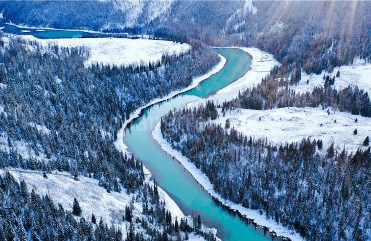
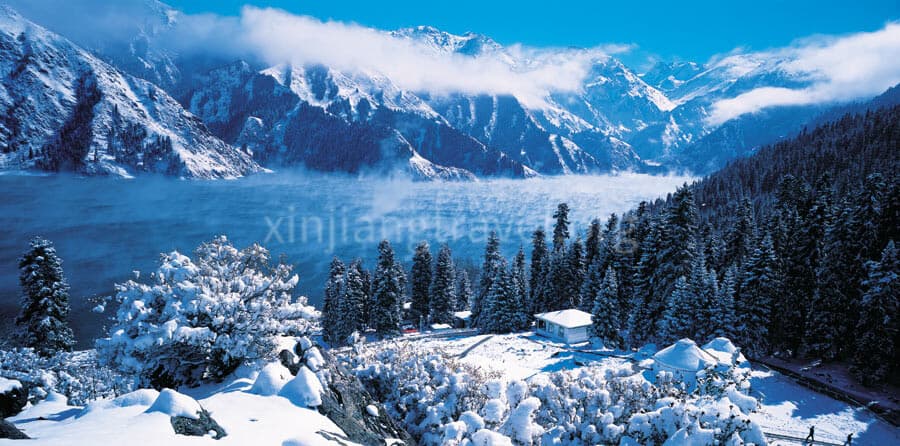
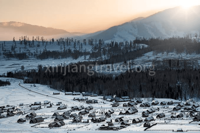
Urumqi - Fuhai - Hemu - Kanas - Urho - Urumqi
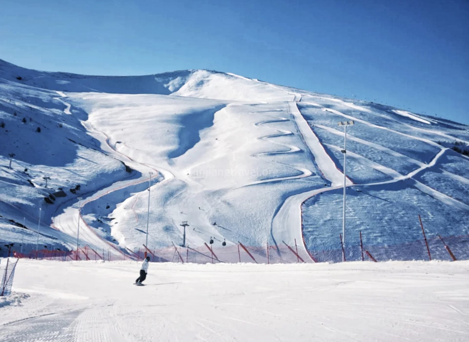
Experience the magic of North Xinjiang in winter on this 8-day tour. Explore the snow-covered Hemu village, hike the icy Three Bays of Kanas, marvel at Ulungur Lake, and discover the Urho Ghost City. A serene winter wonderland awaits you.
The Kunlun Mountains rise south of Xinjiang's Tarim Basin, along the northern edge of the Tibetan Plateau. They are a vast mountain system rather than a single attraction with one entrance, so planning a visit begins with choosing a particular valley, road or managed scenic area.
This guide focuses on the Xinjiang side, especially the mountain approaches associated with Hotan, Cele and Yutian. It separates the geography you see on a map from the access arrangements you need for a journey into the mountains.
Content›Where Are the Kunlun Mountains? ›What Makes the Xinjiang Side Distinctive? |
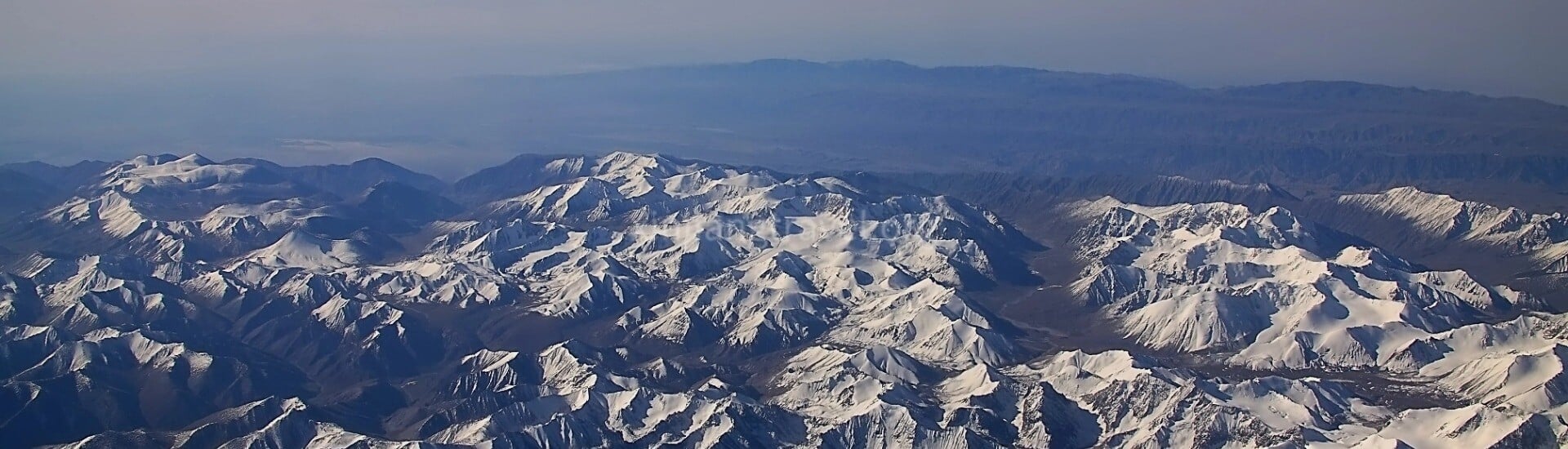
The Kunlun mountain belt runs broadly west to east across western China. Its western end meets the complex mountain country around the Pamirs, while its ranges extend eastwards towards Qinghai. On the Xinjiang side, the mountains form the high southern boundary of the Tarim Basin and the Taklamakan Desert.
The most useful way to picture the landscape is from north to south: desert and oasis settlements, rising foothills, then high mountain ranges and the Tibetan Plateau beyond. Hotan and the oasis towns farther east sit on the basin side of this transition; they are gateways to the mountains, not high-altitude mountain resorts themselves.
Maps and reference works do not always use identical boundaries for the Kunlun system. For travel planning, the name of your actual destination matters more than a single figure for the range's length or highest peak.
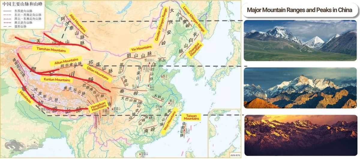
The contrast between the Tarim Basin and its southern mountains is central to the landscape. A journey towards the Kunlun can pass from irrigated settlements and dry foothills into valleys and higher mountain terrain. The views depend on the particular approach: travelling south does not automatically lead to a close view of glaciers or a continuous wall of snowy peaks.
Distance, dust and cloud can all affect what you see from lower ground. Do not book a hotel in Hotan solely on the assumption that its windows will provide a clear mountain panorama.
Snow and glacier melt help feed rivers descending from the mountains towards the basin. The Hotan river system and the Keriya River illustrate how mountain water supports settlements in an otherwise dry region.
This relationship is more useful to understand on a southern Xinjiang journey than a long list of peak heights. The green agricultural land around an oasis and the arid country beyond it are parts of the same mountain–desert landscape.
The Xinjiang Kunlun includes dry slopes, deeply cut valleys and areas of high pasture. Vegetation changes with elevation and local conditions, so descriptions of the entire range as uniformly barren are misleading. Equally, photographs of summer grassland should not be taken as a picture of every valley in every season.
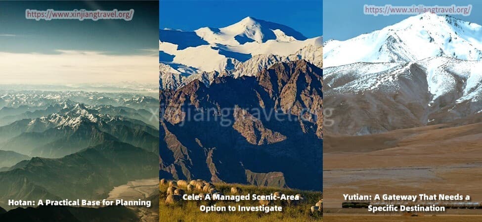
Hotan is a useful place to organise a mountain extension if it is already part of your southern Xinjiang route. Base yourself in the city while confirming the destination, vehicle arrangements and return journey, rather than booking an unspecified "Kunlun Mountains tour".
Ask for the exact Chinese name and map pin of the proposed stop. A city park with "Kunlun" in its name, a foothill viewpoint and a high-altitude scenic area are very different outings. The Hotan destination page provides context for the city portion of the trip; a mountain excursion needs its own plan.
Cele County has a developed Kunlun mountain tourism area, with mountain, canyon and pasture landscapes. The wider Xinjiang Kunlun Mountain Scenic Area brings together separate visitor areas, so do not assume that one ticket, one entrance or one short drive covers everything advertised under the name.
This is a candidate for travellers who want an organised scenic-area visit rather than a remote expedition. Before paying for transport, ask the scenic-area operator to identify the entrance and visitor sector proposed for your date, and confirm admission with your foreign passport, any additional formalities and the transport required inside.
Allow a dedicated day for a mountain outing rather than treating it as a quick stop between city visits. Whether the chosen sector works as a same-day return depends on your starting point, the road and the time needed inside.
Yutian, also known as Keriya, is another oasis gateway on the northern side of the mountains. Places such as Pulu appear in local tourism listings, but their presence on a list does not establish that every mountain road beyond them is open to every traveller.
Consider this approach only when your local organiser can name the actual destination and confirm access for your party. It is not a substitute for Cele simply because both lie near the Kunlun on a regional map. If you have limited time and no confirmed route, keep Yutian as an oasis stop rather than adding an improvised mountain drive.
Start with the experience you want: a distant mountain view, a managed scenic-area visit or a journey farther into the mountains. These require different amounts of time, and the latter may involve access conditions that do not apply to ordinary city travel.
For a first visit, request a simple plan with one main mountain destination. The quotation should name the starting hotel, entrance or viewpoint, permitted stopping places, expected return point and any separate admission or shuttle charges. "Kunlun sightseeing" is not detailed enough to compare two offers.
A city hotel is often the simpler choice when meals, onward transport and a flexible return matter most. Stay closer to a mountain entrance only if the location genuinely reduces the next day's driving and the property has confirmed its opening, room facilities and arrangements for your passport.
Avoid linking an unfamiliar mountain road directly to a flight or long-distance train. Spend the following night at your departure base when a delay would otherwise put your onward journey at risk.
If a proposed excursion requires most of the day just to drive there and back, either reduce the sightseeing programme or add an overnight stop with confirmed accommodation. Do not solve a crowded schedule by assuming that checkpoints, roadside stops and scenic-area transport take no time.
Summer is the clearest starting point when investigating a visit to Cele's high pastures. The operator recommends the warmer months, particularly June to August, but a seasonal recommendation is not a guarantee that every road and visitor facility is operating.
Spring or autumn in Hotan can feel very different from the same dates higher in the mountains. Pack a warm layer and windproof outerwear for the outing, and ask about conditions at the intended stop rather than relying only on the city forecast. Winter requires a specifically confirmed route.
A roadside viewpoint does not imply permission to leave the road, walk towards a glacier or continue along an unconfirmed track. Stay within the visitor route agreed with the operator. Do not use a domestic self-drive account as proof that the same journey is available to a foreign passport holder.
Some visitor areas reach well above 3,000 metres. Ask for the highest stop and sleeping altitude before booking, particularly if you have only recently arrived from low elevation. A mountain outing should not be described as an easy city excursion simply because most of it is by car.
No. The mountain system extends beyond Xinjiang across the northern side of the Tibetan Plateau. This page focuses on its Xinjiang approaches.
Possibly, but only after choosing a specific destination and confirming access, road time and the return journey. "Kunlun Mountains" alone does not identify a workable day trip.
No. They meet within the complex mountain geography of western China, but the names are not interchangeable. A Kashgar–Tashkurgan journey through the Pamir Plateau is a different itinerary from a mountain approach south of Hotan or Cele.
Not necessarily. Road-based visits and managed scenic areas can provide mountain views, but access to a viewpoint does not include access to nearby peaks or glaciers. Choose a confirmed visitor route that matches your mobility and interests.
No. Before booking a mountain extension, have the operator confirm your passport arrangements, the exact visitor area and any road or local access requirements for the proposed journey.